

IGN solution to capture and share reports from the field.
To participate in improving IGN standards by reporting changes or errors via a dedicated interface? Enter and develop a business database in the field with your colleagues?
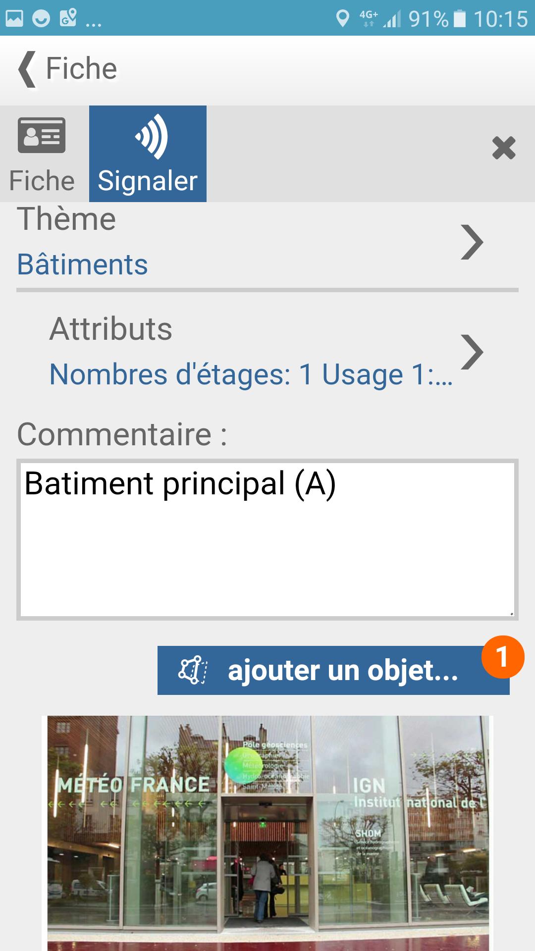
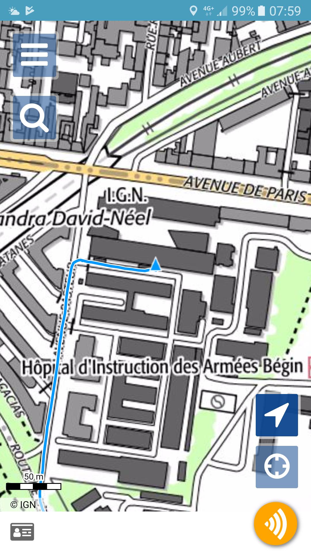
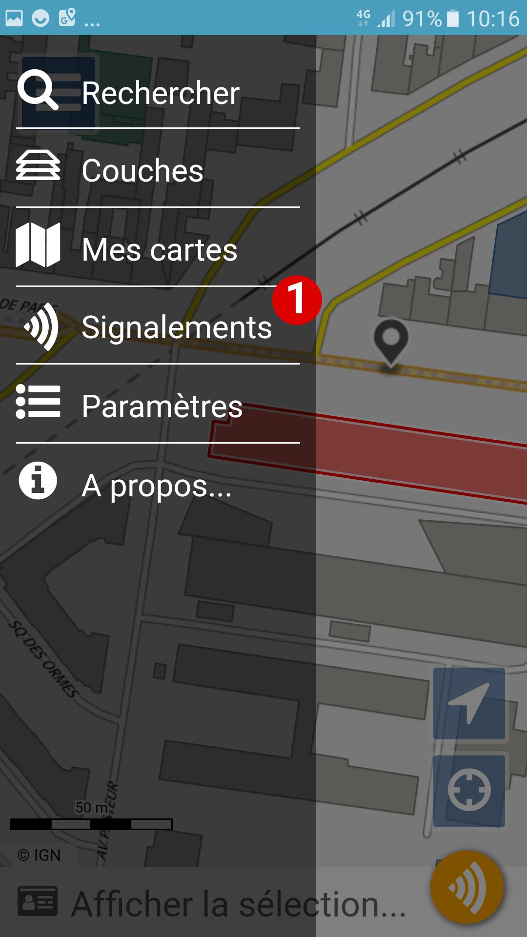
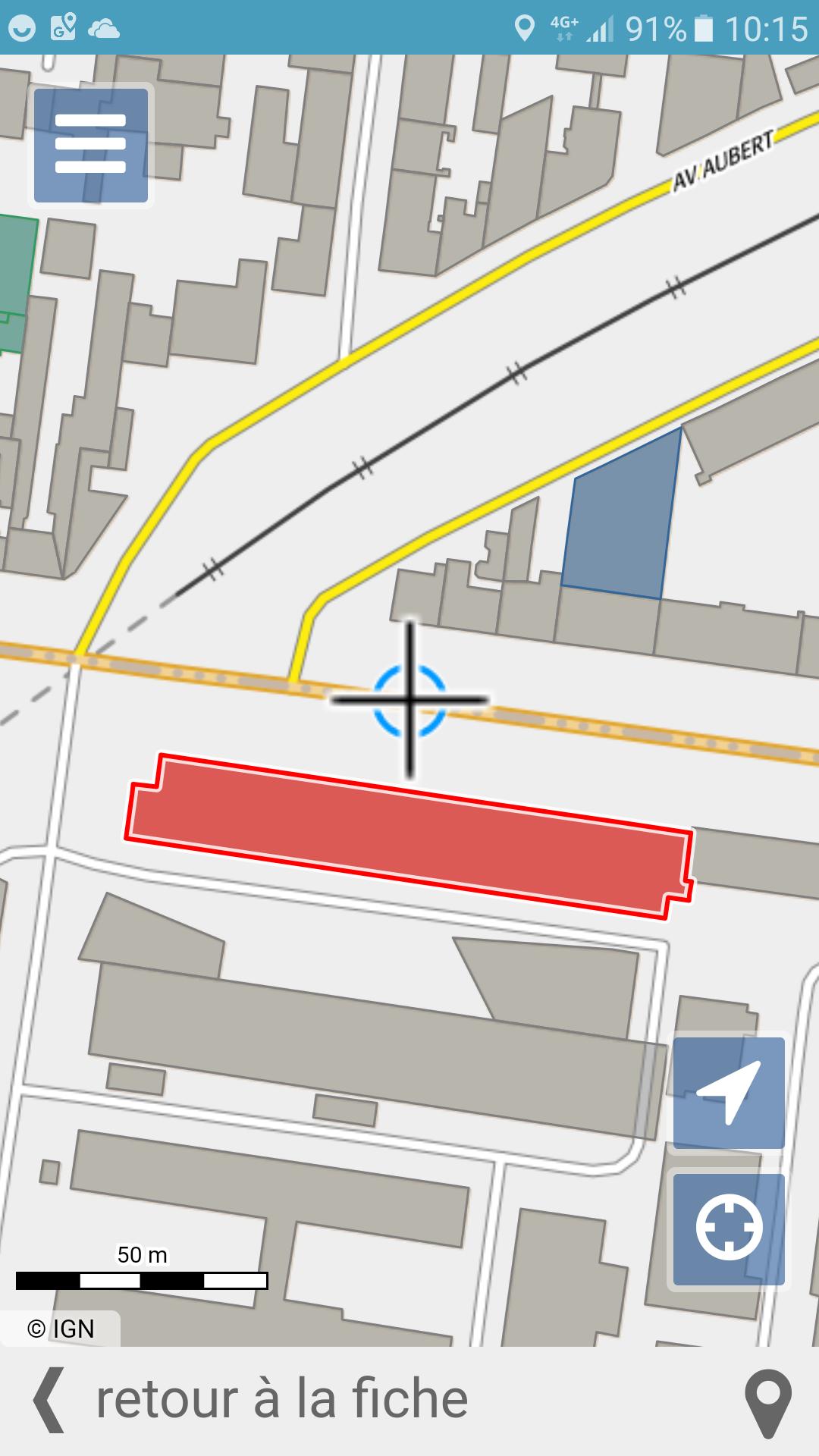
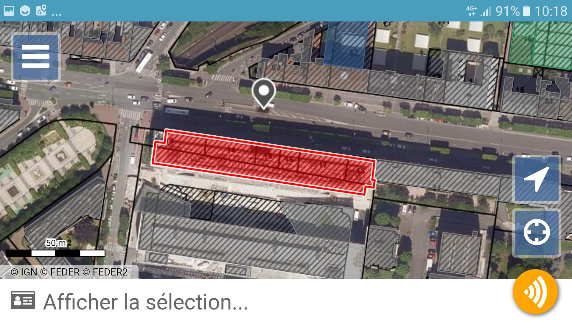
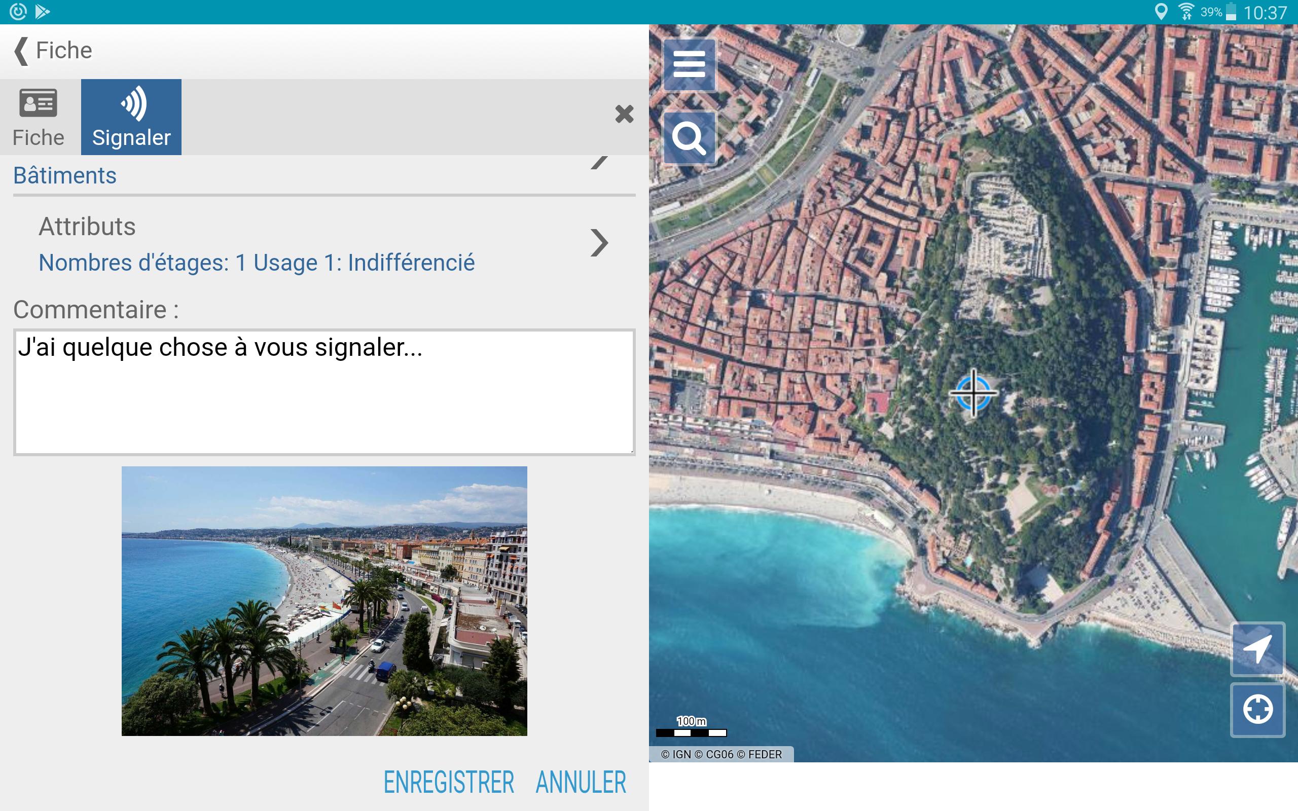
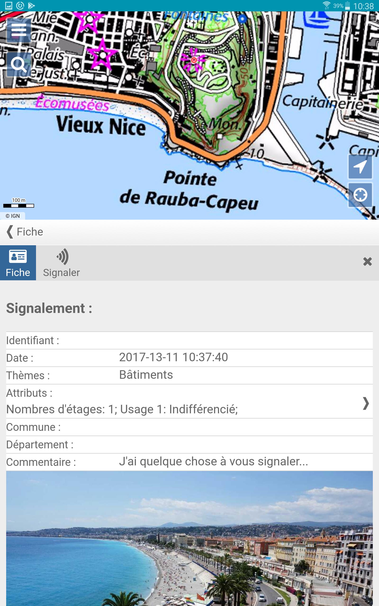
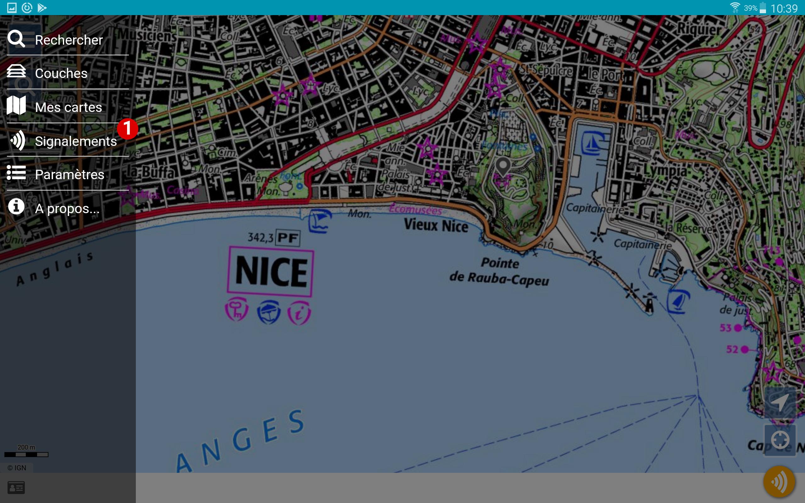
IGN (Institut géographique national) sets up mobile Collaborative space IGN. This application is a collaborative reporting tool. It allows authenticated users of the collaborative space IGN indicate changes, gaps or inconsistencies in the geographic database IGN, and follow their treatment. This application also allows to develop collaboratively your trades databases!
To access your reports and your online services you must have an account on the site of the Collaborative space IGN. Registration is free.
You will learn your login details on the settings page accessible in the application menu.
What's New in the Latest Version 3.0.0
Last updated on Jun 29, 2024
version 3.0
Espace collaboratif IGNEspace collaboratif IGN is a collaborative mapping platform developed by the French National Institute of Geographic and Forest Information (IGN). It allows users to create, edit, and share geographic data and maps. The platform is designed to be accessible to users of all levels of expertise, from beginners to experienced GIS professionals.
Key Features
* Collaborative editing: Multiple users can work on the same map simultaneously, making it easy to collaborate on projects.
* Data sharing: Users can share their data with others, both within the platform and externally.
* Map creation: Users can create custom maps using a variety of tools and templates.
* Data visualization: Users can visualize their data in a variety of ways, including heat maps, choropleth maps, and 3D models.
* Integration with other tools: Espace collaboratif IGN can be integrated with a variety of other tools, including GIS software, CAD software, and web mapping applications.
Benefits
* Improved collaboration: Espace collaboratif IGN makes it easy for users to collaborate on mapping projects, regardless of their location or technical expertise.
* Increased data sharing: The platform facilitates the sharing of geographic data between users, which can help to improve the quality and accuracy of maps.
* Enhanced map creation: The platform provides users with a variety of tools and templates to create custom maps that meet their specific needs.
* Improved data visualization: The platform allows users to visualize their data in a variety of ways, which can help them to identify patterns and trends.
* Integration with other tools: The platform can be integrated with a variety of other tools, which allows users to extend its functionality and use it in a variety of workflows.
Use Cases
Espace collaboratif IGN is used by a variety of organizations for a variety of purposes, including:
* Land use planning: The platform can be used to create maps of land use, which can help planners to make informed decisions about how to use land.
* Environmental management: The platform can be used to create maps of environmental data, such as water quality and air quality, which can help organizations to track environmental trends and make informed decisions about how to protect the environment.
* Emergency response: The platform can be used to create maps of disaster areas, which can help emergency responders to coordinate their efforts and provide assistance to those in need.
* Education: The platform can be used to create maps for educational purposes, such as teaching students about geography and history.
Conclusion
Espace collaboratif IGN is a powerful and versatile mapping platform that can be used by a variety of organizations for a variety of purposes. The platform's collaborative editing, data sharing, map creation, data visualization, and integration with other tools make it an ideal solution for organizations that need to create and share geographic data and maps.
IGN solution to capture and share reports from the field.
To participate in improving IGN standards by reporting changes or errors via a dedicated interface? Enter and develop a business database in the field with your colleagues?
IGN (Institut géographique national) sets up mobile Collaborative space IGN. This application is a collaborative reporting tool. It allows authenticated users of the collaborative space IGN indicate changes, gaps or inconsistencies in the geographic database IGN, and follow their treatment. This application also allows to develop collaboratively your trades databases!
To access your reports and your online services you must have an account on the site of the Collaborative space IGN. Registration is free.
You will learn your login details on the settings page accessible in the application menu.
What's New in the Latest Version 3.0.0
Last updated on Jun 29, 2024
version 3.0
Espace collaboratif IGNEspace collaboratif IGN is a collaborative mapping platform developed by the French National Institute of Geographic and Forest Information (IGN). It allows users to create, edit, and share geographic data and maps. The platform is designed to be accessible to users of all levels of expertise, from beginners to experienced GIS professionals.
Key Features
* Collaborative editing: Multiple users can work on the same map simultaneously, making it easy to collaborate on projects.
* Data sharing: Users can share their data with others, both within the platform and externally.
* Map creation: Users can create custom maps using a variety of tools and templates.
* Data visualization: Users can visualize their data in a variety of ways, including heat maps, choropleth maps, and 3D models.
* Integration with other tools: Espace collaboratif IGN can be integrated with a variety of other tools, including GIS software, CAD software, and web mapping applications.
Benefits
* Improved collaboration: Espace collaboratif IGN makes it easy for users to collaborate on mapping projects, regardless of their location or technical expertise.
* Increased data sharing: The platform facilitates the sharing of geographic data between users, which can help to improve the quality and accuracy of maps.
* Enhanced map creation: The platform provides users with a variety of tools and templates to create custom maps that meet their specific needs.
* Improved data visualization: The platform allows users to visualize their data in a variety of ways, which can help them to identify patterns and trends.
* Integration with other tools: The platform can be integrated with a variety of other tools, which allows users to extend its functionality and use it in a variety of workflows.
Use Cases
Espace collaboratif IGN is used by a variety of organizations for a variety of purposes, including:
* Land use planning: The platform can be used to create maps of land use, which can help planners to make informed decisions about how to use land.
* Environmental management: The platform can be used to create maps of environmental data, such as water quality and air quality, which can help organizations to track environmental trends and make informed decisions about how to protect the environment.
* Emergency response: The platform can be used to create maps of disaster areas, which can help emergency responders to coordinate their efforts and provide assistance to those in need.
* Education: The platform can be used to create maps for educational purposes, such as teaching students about geography and history.
Conclusion
Espace collaboratif IGN is a powerful and versatile mapping platform that can be used by a variety of organizations for a variety of purposes. The platform's collaborative editing, data sharing, map creation, data visualization, and integration with other tools make it an ideal solution for organizations that need to create and share geographic data and maps.


